
Earthquake details
Earthquake event details
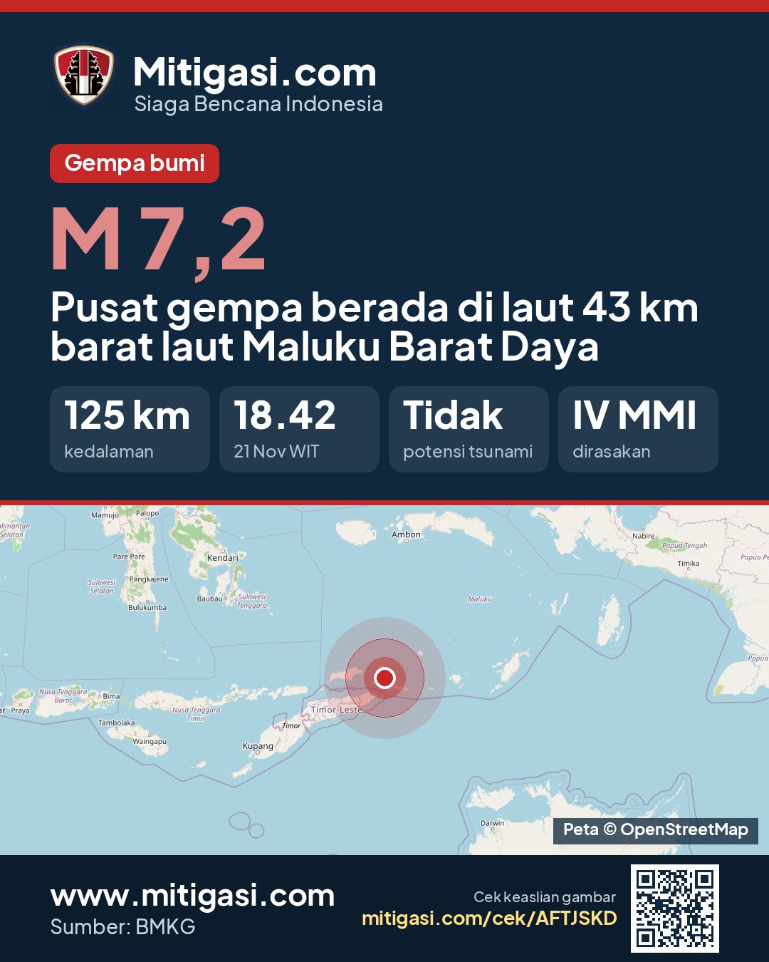
7.2
SR (Richter scale)
Location
Epicentre at sea, 43 km northwest of Maluku Barat Daya
Date
21 Nov 2026
Time
17:42:11 WITA
Depth
125 km
Coordinates
-7.8800000, 127.5100000
Felt
IV Tiakur, III Saumlaki, III Waingapu, II-III Kupang, III Kab. Alor, IV Romang, IV Pulau Babar, II-III Kota Kupang, II-III Kab. Kupang, II-III Kab. Timur Tengah Utara, II-III Kab. Malaka, II-III Kab. Melu, II-III Kab. Lembata
Tsunami status
This earthquake has no tsunami potential.
Shaking map (Shakemap)

Epicentre location
Other recent earthquakes
See all →6.0
Pusat gempa di Sichuan, China
21 Nov 2026 18:46
→
2.0
Epicentre at sea, 45 km north of Kab. Nagekeo, Nusa Tenggara Timur
21 Nov 2026 18:40
→
2.6
Epicentre at sea, 87 km south of Kab. Pacitan, Jawa Timur
21 Nov 2026 18:36
→
2.8
Epicentre at sea, 86 km northeast of Kab. Manggarai Timur, Nusa Tenggara Timur
21 Nov 2026 18:23
→
2.1
Epicentre on land, Kab. Manggarai Timur, Nusa Tenggara Timur
21 Nov 2026 18:22
→