
Earthquake details
Earthquake event details
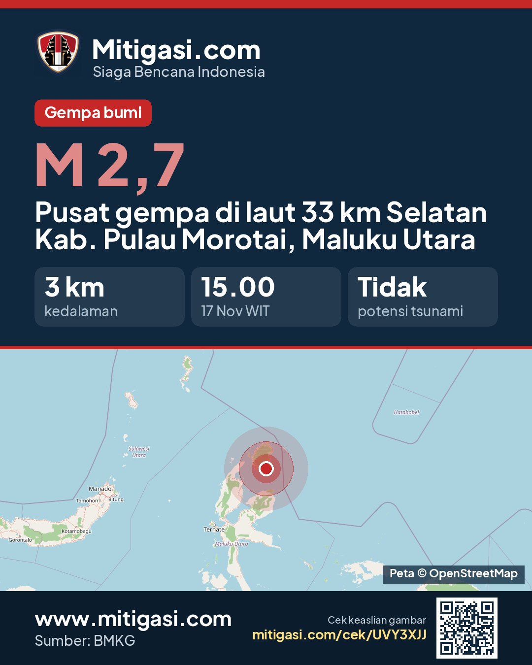
2.7
SR (Richter scale)
Location
Epicentre at sea, 33 km south of Kab. Pulau Morotai, Maluku Utara
Date
17 Nov 2026
Time
14:00:59 WITA
Depth
3 km
Coordinates
2.0420000, 128.5350000
Tsunami status
This earthquake has no tsunami potential.
Epicentre location
Other recent earthquakes
See all →2.4
Epicentre on land, Kab. Sumbawa, Nusa Tenggara Barat
17 Nov 2026 14:06
→
3.2
Epicentre on land, Kab. Dompu, Nusa Tenggara Barat
17 Nov 2026 14:02
→
3.0
Epicentre at sea, 95 km east of Kab. Kep. Siau Tagulandang Biaro, Sulawesi Utara
17 Nov 2026 14:00
→
2.7
Epicentre on land, Kab. Solok Selatan, Sumatera Barat
17 Nov 2026 13:53
→