
Earthquake details
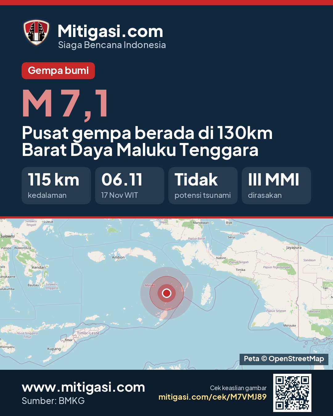
Earthquake event details
7.1
SR (Richter scale)
Location
Pusat gempa berada di 130km BaratDaya Maluku Tenggara
Date
17 Nov 2026
Time
05:11:20 WITA
Depth
115 km
Coordinates
-6.0300000, 131.6200000
Felt
III Saumlaki, III Tiakur, III Dobo, III Sorong, III Manokwari, III Manokwari Selatan, III Bintuni, III Tual, III Fakfak, III Kaimana, II Nabire
Tsunami status
This earthquake has no tsunami potential.
Shaking map (Shakemap)

Epicentre location
Other recent earthquakes
See all →2.0
Epicentre at sea, 54 km north of Kab. Manggarai, Nusa Tenggara Timur
17 Nov 2026 05:53
→
2.0
Epicentre on land, Kab. Dompu, Nusa Tenggara Barat
17 Nov 2026 05:50
→
3.2
Epicentre at sea, 110 km southwest of Kota Tual, Maluku
17 Nov 2026 05:49
→
2.1
Epicentre at sea, 39 km north of Kab. Manggarai Timur, Nusa Tenggara Timur
17 Nov 2026 05:49
→
2.5
Epicentre at sea, 73 km north of Kab. Manggarai Timur, Nusa Tenggara Timur
17 Nov 2026 05:42
→