
Earthquake details
Earthquake event details
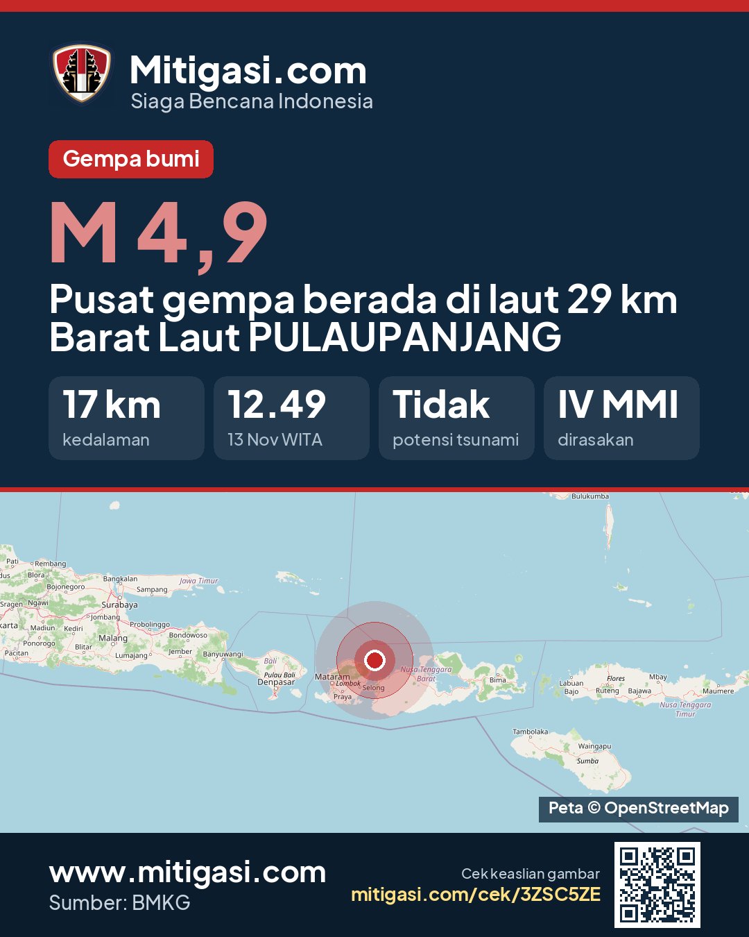
4.9
SR (Richter scale)
Location
Epicentre at sea, 29 km northwest of PULAUPANJANG
Date
13 Nov 2026
Time
12:49:34 WITA
Depth
17 km
Coordinates
-8.2200000, 116.7700000
Felt
IV Kab. Lombok Timur, III Kab. Lombok Tengah, III Kab. Lombok Barat, II-III Kota Mataram, II Kab. Sumbawa
Tsunami status
This earthquake has no tsunami potential.
Shaking map (Shakemap)
The shaking map is being prepared.
Epicentre location
Other recent earthquakes
See all →3.4
Epicentre at sea, 123 km east of Kota Bitung, Sulawesi Utara
13 Nov 2026 13:10
→
2.4
Epicentre at sea, 108 km north of Kab. Nagekeo, Nusa Tenggara Timur
13 Nov 2026 12:58
→
2.4
Epicentre at sea, 85 km south of Kab. Boalemo, Gorontalo
13 Nov 2026 12:35
→
3.0
Epicentre at sea, 45 km north of Kab. Manggarai Timur, Nusa Tenggara Timur
13 Nov 2026 12:17
→