
Mount Wurlali
Maluku · 868 m a.s.l.
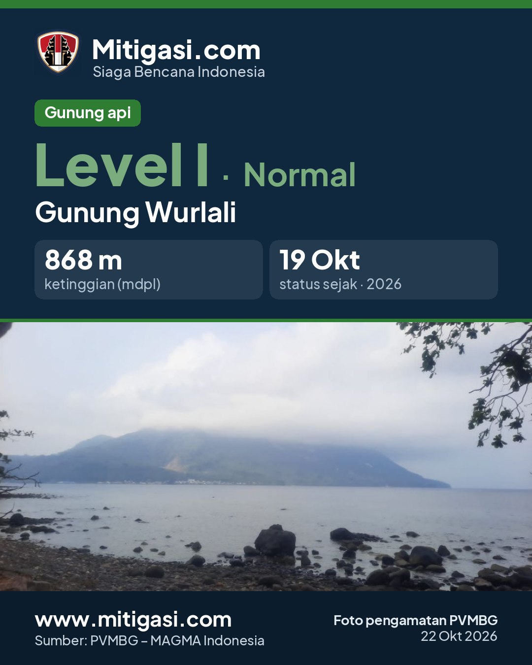
Recommendations
Latest report
24-hour report, 2026-10-23, 00:00-24:00 WIT · Marinus A. Louth
Visual observation
The volcano is clearly visible to covered by fog 0-II. Crater smoke not observed.
Climatology
Weather clear to cloudy, weak wind to moderate towards west.
Seismicity
- Kegempaan nihil.
Observation photo

Latest observation photo.
- Location
- Maluku Barat Daya, Maluku
- Nearest city
- -
- Elevation
- 868 m a.s.l.
- Coordinates
- -7.1250000, 128.6750000
Observation-post CCTV
Gunung Wurlali belum memiliki CCTV publik.
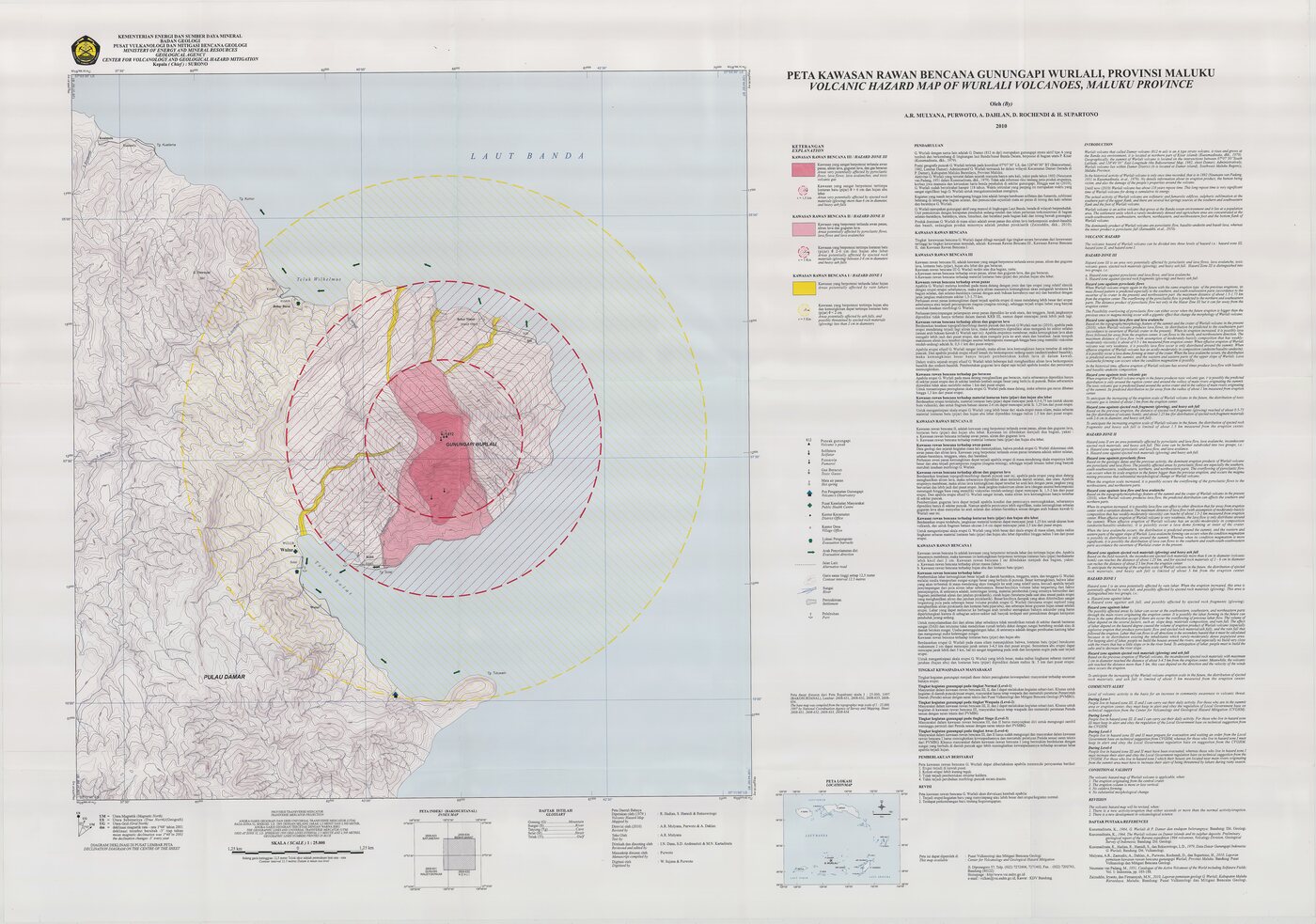
Volcanic hazard map (KRB)
Official Geological Agency map (2010): areas that may be hit by pyroclastic flows, lava flows, ballistic rocks, ashfall, and lahars. KRB III is closest to the source.
14-day seismicity chart
Volcanic earthquakes per day by type.
No seismic data recorded yet.
Satellite imagery
Previous reports
24-hour report, 2026-10-22, 00:00-24:00 WIT
Visual: The volcano is clearly visible to covered by fog 0-II. Crater smoke not observed.
- Kegempaan nihil.
24-hour report, 2026-10-21, 00:00-24:00 WIT
Visual: The volcano is clearly visible to covered by fog 0-II. Crater smoke not observed.
- Kegempaan nihil.
24-hour report, 2026-10-20, 00:00-24:00 WIT
Visual: The volcano is clearly visible. Main crater smoke observed: white with thin to moderate intensity, rising about 50-60 meter dari puncak.
- Kegempaan nihil.
24-hour report, 2026-10-19, 00:00-24:00 WIT
Visual: The volcano is clearly visible. Main crater smoke observed: white with thin intensity, rising about 50 meter dari puncak.
- Kegempaan nihil.
24-hour report, 2026-10-18, 00:00-24:00 WIT
Visual: The volcano is clearly visible to covered by fog 0-II. Crater smoke not observed.
- Kegempaan nihil.
Level history
No level changes recorded since monitoring began.