
Mount Batutara
Nusa Tenggara Timur · 748 m a.s.l.
Recommendations
Latest report
24-hour report, 2025-12-21, 00:00-24:00 WITA · Stanislaus Ara Kian, A.Md.
Visual observation
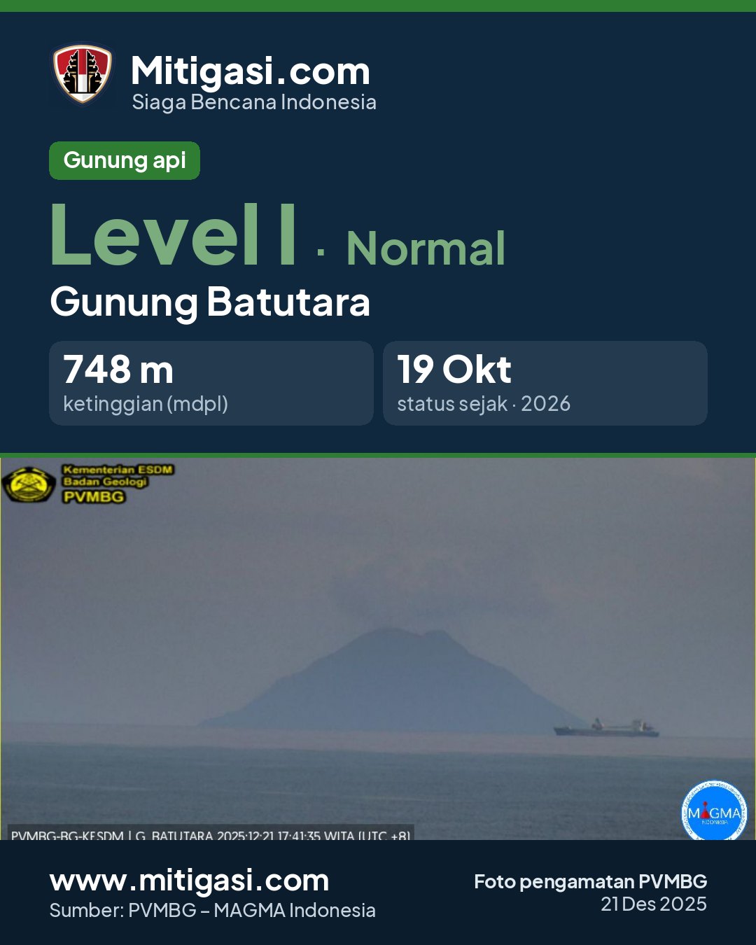
The volcano is clearly visible to covered by fog 0-I. Main crater smoke observed: white with thin to moderate intensity, rising about 200-250 meter dari puncak.
Tidak Ada Pengamatan Seismik
Climatology
Weather clear to cloudy, weak wind towards east. Air temperature about 26-30°C.
Seismicity
- Kegempaan nihil.
Observation photo

Latest observation photo.
- Location
- Lembata, Nusa Tenggara Timur
- Nearest city
- Patar - Lembata
- Elevation
- 748 m a.s.l.
- Coordinates
- -7.7920000, 123.5790000
Observation-post CCTV
Gunung Batutara belum memiliki CCTV publik.
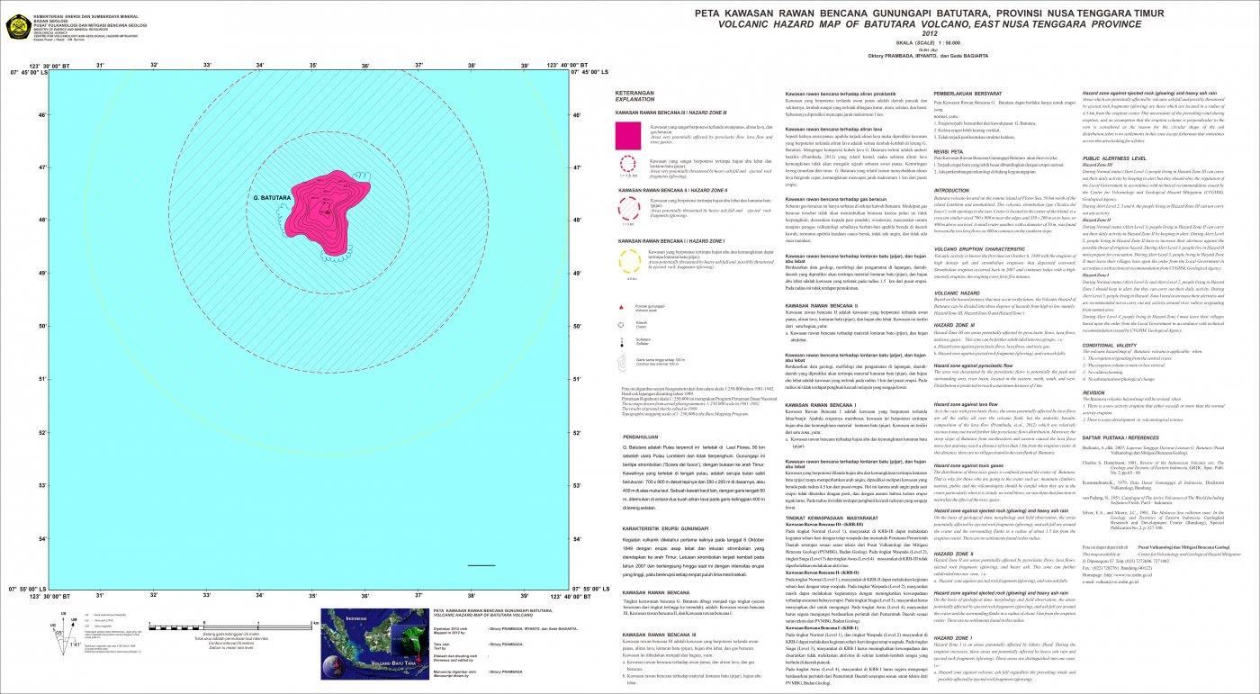
Volcanic hazard map (KRB)
Official Geological Agency map (2012): areas that may be hit by pyroclastic flows, lava flows, ballistic rocks, ashfall, and lahars. KRB III is closest to the source.
14-day seismicity chart
Volcanic earthquakes per day by type.
No seismic data recorded yet.
Satellite imagery
Previous reports
Belum ada laporan sebelumnya.
Level history
No level changes recorded since monitoring began.