
Mount Ruang
Sulawesi Utara · 725 m a.s.l.
Recommendations
2. Masyarakat yang berada di luar radius 500 m dari G. Ruang diharap tenang, beraktivitas seperti biasa, tidak terpancing isu-isu tentang erupsi G. Ruang dan tetap mengikuti perkembangan aktivitas G. Ruang melalui aplikasi MAGMA Indonesia yang dapat diunduh di Google Playstore atau melalui website https://magma.esdm.go.id, Website PVMBG https://vsi.esdm.go.id, dan Website Badan Geologi https://geologi.esdm.go.id serta media sosial PVMBG (Facebook, X, dan Instagram @pvmbg_).
3. Pemerintah Daerah, BPBD Provinsi dan Kabupaten agar senantiasa berkoordinasi dengan Pos Pengamatan Gunung Api Ruang, Desa Tulusan, Kecamatan Tagulandang, Kabupaten Sitaro, Sulawesi Utara atau Badan Geologi di Bandung.
Latest report
24-hour report, 2026-10-23, 00:00-24:00 WITA · Royn Daun
Visual observation
The volcano is covered by fog 0-I to covered by fog 0-II. Crater smoke not observed.
Climatology
Weather clear to cloudy, weak wind to moderate towards north. Air temperature about 27-31°C.
Seismicity
- 6 Distant tectonic events, amplitude 3-18 mm, S-P 18-30 s, duration 48-135 s.
Observation photo

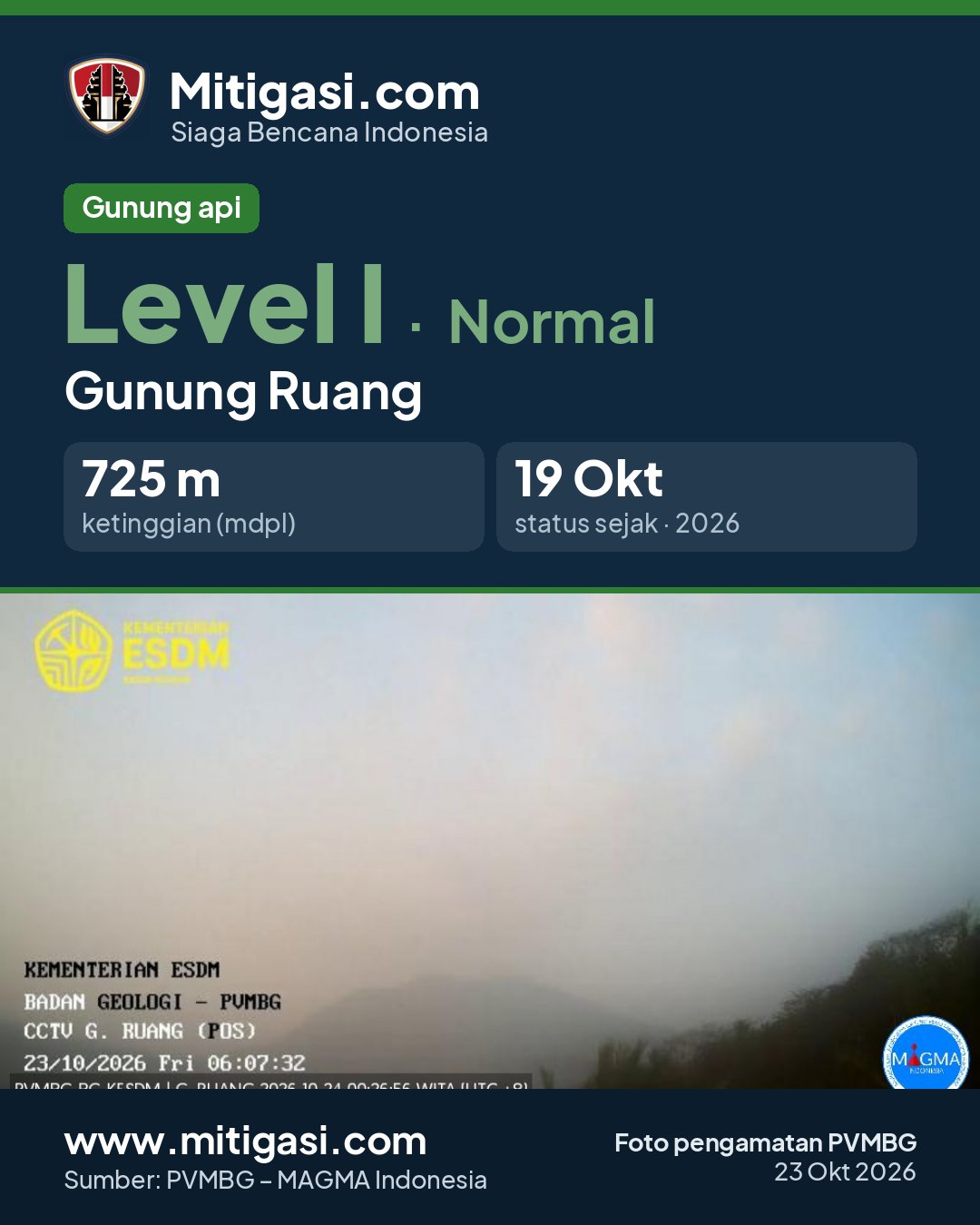
Latest observation photo.
- Location
- Siau Tagulandang Biaro (Sitaro), Sulawesi Utara
- Nearest city
- Tagulandang
- Elevation
- 725 m a.s.l.
- Coordinates
- 2.3031000, 125.3667000
Observation-post CCTV
Snapshots are updated about every 15 minutes. The capture time is shown in the top-left corner.

Live seismograms
Seismograph (helicorder) records from the last 24 hours at 2 PVMBG stations on Mount Ruang, updated about every 15 minutes. One line = 30 minutes; the bottom line is the latest. Times on the image are UTC (WIB = UTC+7, WITA = UTC+8, WIT = UTC+9). Click an image for full size.
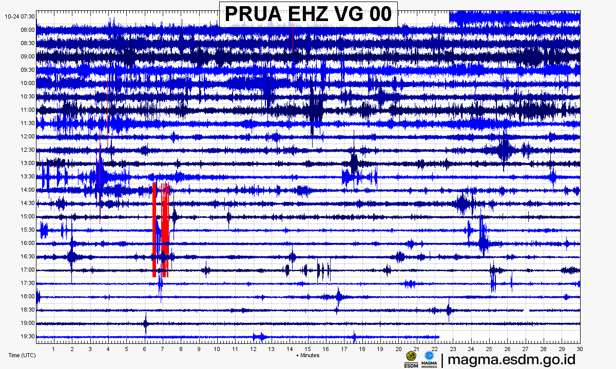
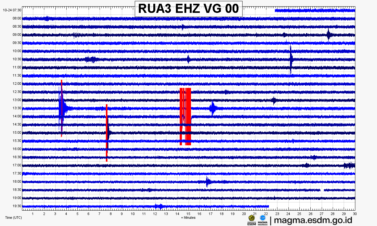
Source: PVMBG – MAGMA Indonesia. Volcanic earthquakes appear as spikes on the trace; continuous shaking may indicate tremor.
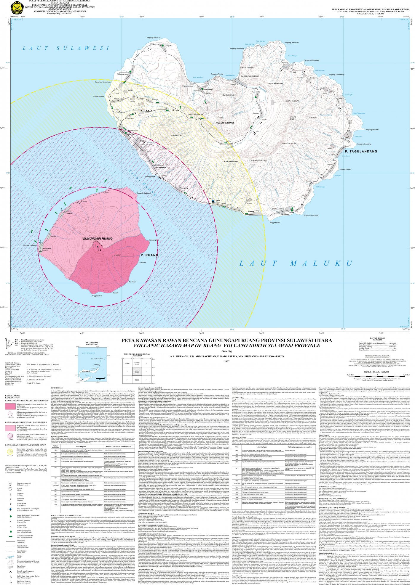
Volcanic hazard map (KRB)
Official Geological Agency map (2007): areas that may be hit by pyroclastic flows, lava flows, ballistic rocks, ashfall, and lahars. KRB III is closest to the source.
14-day seismicity chart
Volcanic earthquakes per day by type.
View data table
| Date | Rockfall | Shallow volcanic | Deep volcanic | Local tectonic | Distant tectonic |
|---|---|---|---|---|---|
| 25 Oct | 0 | 0 | 0 | 0 | 0 |
| 24 Oct | 0 | 0 | 0 | 0 | 0 |
| 23 Oct | 0 | 0 | 0 | 0 | 6 |
| 22 Oct | 0 | 0 | 1 | 0 | 2 |
| 21 Oct | 0 | 0 | 0 | 0 | 5 |
| 20 Oct | 1 | 2 | 1 | 1 | 3 |
| 19 Oct | 0 | 0 | 0 | 0 | 5 |
| 18 Oct | 0 | 0 | 0 | 0 | 3 |
| 17 Oct | 0 | 0 | 0 | 0 | 0 |
| 16 Oct | 0 | 0 | 0 | 0 | 0 |
| 15 Oct | 0 | 0 | 0 | 0 | 0 |
| 14 Oct | 0 | 0 | 0 | 0 | 0 |
| 13 Oct | 0 | 0 | 0 | 0 | 0 |
| 12 Oct | 0 | 0 | 0 | 0 | 0 |
Satellite imagery
Previous reports
24-hour report, 2026-10-22, 00:00-24:00 WITA
Visual: The volcano is covered by fog 0-I. Crater smoke not observed.
- 1 Deep volcanic event, amplitude 4 mm, S-P 1 s, duration 12 s.
- 2 Distant tectonic events, amplitude 3 mm, S-P 16.5-19 s, duration 53-57 s.
24-hour report, 2026-10-21, 00:00-24:00 WITA
Visual: The volcano is covered by fog 0-I. Crater smoke not observed.
- 5 Distant tectonic events, amplitude 3-4 mm, S-P 11-20 s, duration 44-100 s.
24-hour report, 2026-10-20, 00:00-24:00 WITA
Visual: The volcano is covered by fog 0-I to covered by fog 0-III. Crater smoke not observed.
- 1 Rockfall event, amplitude 3 mm, duration 40 s.
- 2 Shallow volcanic events, amplitude 3 mm, duration 15 s.
- 1 Deep volcanic event, amplitude 3 mm, S-P 0.5 s, duration 18 s.
- 1 Local tectonic event, amplitude 4 mm, S-P 7 s, duration 32 s.
- 3 Distant tectonic events, amplitude 3-8 mm, S-P 18-39 s, duration 56-110 s.
24-hour report, 2026-10-19, 00:00-24:00 WITA
Visual: The volcano is clearly visible to covered by fog 0-I. No crater smoke.
- 5 Distant tectonic events, amplitude 3-10 mm, S-P 18-34 s, duration 60-150 s.
24-hour report, 2026-10-18, 00:00-24:00 WITA
Visual: The volcano is clearly visible to covered by fog 0-I. No crater smoke.
- 3 Distant tectonic events, amplitude 3-4 mm, S-P 11-16 s, duration 42-78 s.
Level history
No level changes recorded since monitoring began.