
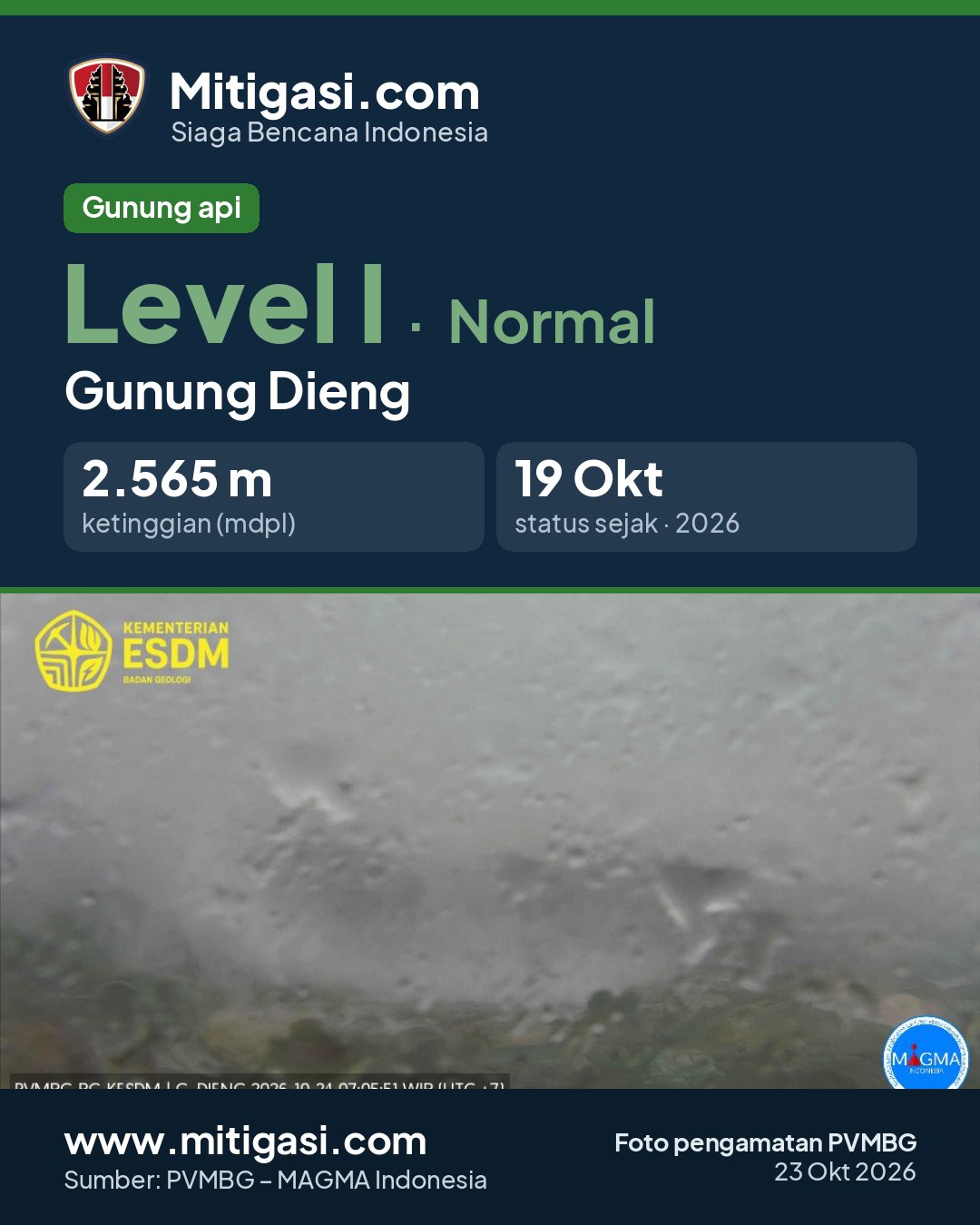
Mount Dieng
Jawa Tengah · 2.565 m a.s.l.
Recommendations
2. Masyarakat dan pengunjung/wisatawan agar tidak memasuki Kawah Timbang, mewaspadai gas beracun yang dapat mengalir ke bagian hilir kawah, dan juga agar waspada saat melakukan penggalian tanah di sekitarnya karena berpotensi terancam gas CO2 beracun.
3. Masyarakat dan pengunjung/wisatawan agar tidak memasuki kawah-kawah lainnya di kompleks G. Dieng yang berpotensi terjadi erupsi freatik dan/atau memiliki konsentrasi gas tinggi yang berbahaya bagi kehidupan.
4. Seluruh pihak agar menjaga suasana yang kondusif di masyarakat, tidak menyebarkan narasi bohong (hoax), dan tidak terpancing isu-isu yang tidak jelas sumbernya. Masyarakat harap selalu mengikuti arahan dari Pemerintah Daerah.
5. Pemerintah Daerah Kabupaten Banjarnegara, Kabupaten Wonosobo, dan Kabupaten Batang agar senantiasa berkoordinasi dengan Pusat Vulkanologi dan Mitigasi Bencana Geologi (PVMBG) di Bandung atau dengan Pos Pengamatan Gunungapi Dieng di Desa Karang Tengah, Kecamatan Batur, Kabupaten Banjarnegara, Telepon (HP) 082330123236, untuk mendapatkan informasi langsung tentang aktivitas G. Dieng.
6. Perkembangan aktivitas dan rekomendasi G. Dieng dapat dipantau melalui website Badan Geologi https://geologi.esdm.go.id, website Magma Indonesia https://magma.esdm.go.id, aplikasi Magma Indonesia yang dapat diunduh di Google Playstore, atau melalui media sosial Badan Geologi (facebook, X, instagram, dan youtube)
Latest report
24-hour report, 2026-10-23, 00:00-24:00 WIB · Ilham Mardikayanta, A.Md.
Visual observation
The volcano is clearly visible to covered by fog 0-III. Main crater smoke observed: white with moderate to thick intensity, rising about 10-20 meter dari puncak.
*Suhu Kawah Sileri* Min 70.3°C, Max 71°C, Rata-Rata 70.7°C *Suhu Tanah Kawah Sileri* Min 28°C, Max 28.7°C, Rata-Rata 28.4°C *Suhu Kawah Timbang* Min 63.8°C, Max 75.9°C, Rata-Rata 71.6°C *Konsentrasi Gas Co2 Kawah Timbang* Min 0.032%Vol, Max 0.034%Vol, Rata-Rata 0.033%Vol *Konsentrasi Gas Co2 Kawah Sikendang* Min 0.65%Vol, Max 0.83%Vol, Rata-Rata 0.71%Vol *Ambang Batas Aman Bagi Kesehatan
Climatology
Weather clear to rain, weak wind towards southeast, south and southwest. Air temperature about 13-18°C. Humidity 86.6-96.4%.
Seismicity
- 1 Local tectonic event, amplitude 42.7 mm, S-P 1.17 s, duration 11.7 s.
Observation photo

Latest observation photo.
- Location
- Banjarnegara, Wonosobo, Batang, Jawa Tengah
- Nearest city
- -
- Elevation
- 2.565 m a.s.l.
- Coordinates
- -7.2000000, 109.9200000
Observation-post CCTV
Snapshots are updated about every 15 minutes. The capture time is shown in the top-left corner.

Live seismograms
Seismograph (helicorder) records from the last 24 hours at 2 PVMBG stations on Mount Dieng, updated about every 15 minutes. One line = 30 minutes; the bottom line is the latest. Times on the image are UTC (WIB = UTC+7, WITA = UTC+8, WIT = UTC+9). Click an image for full size.
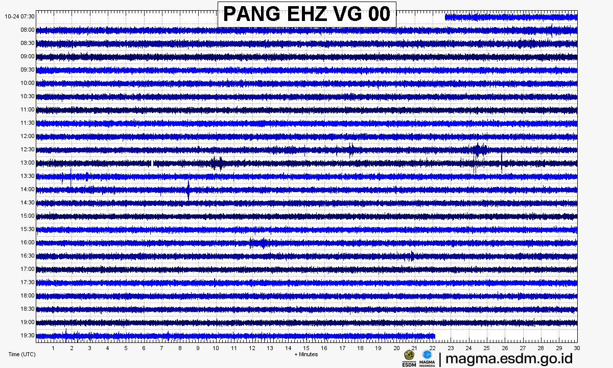
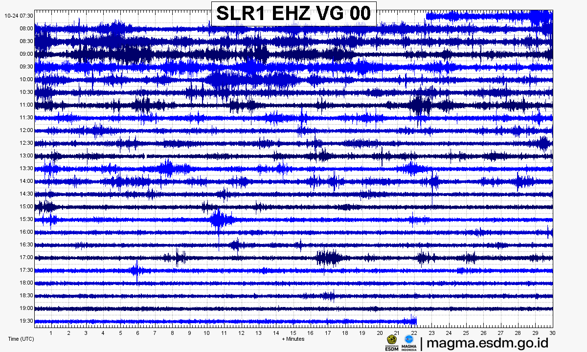
Source: PVMBG – MAGMA Indonesia. Volcanic earthquakes appear as spikes on the trace; continuous shaking may indicate tremor.
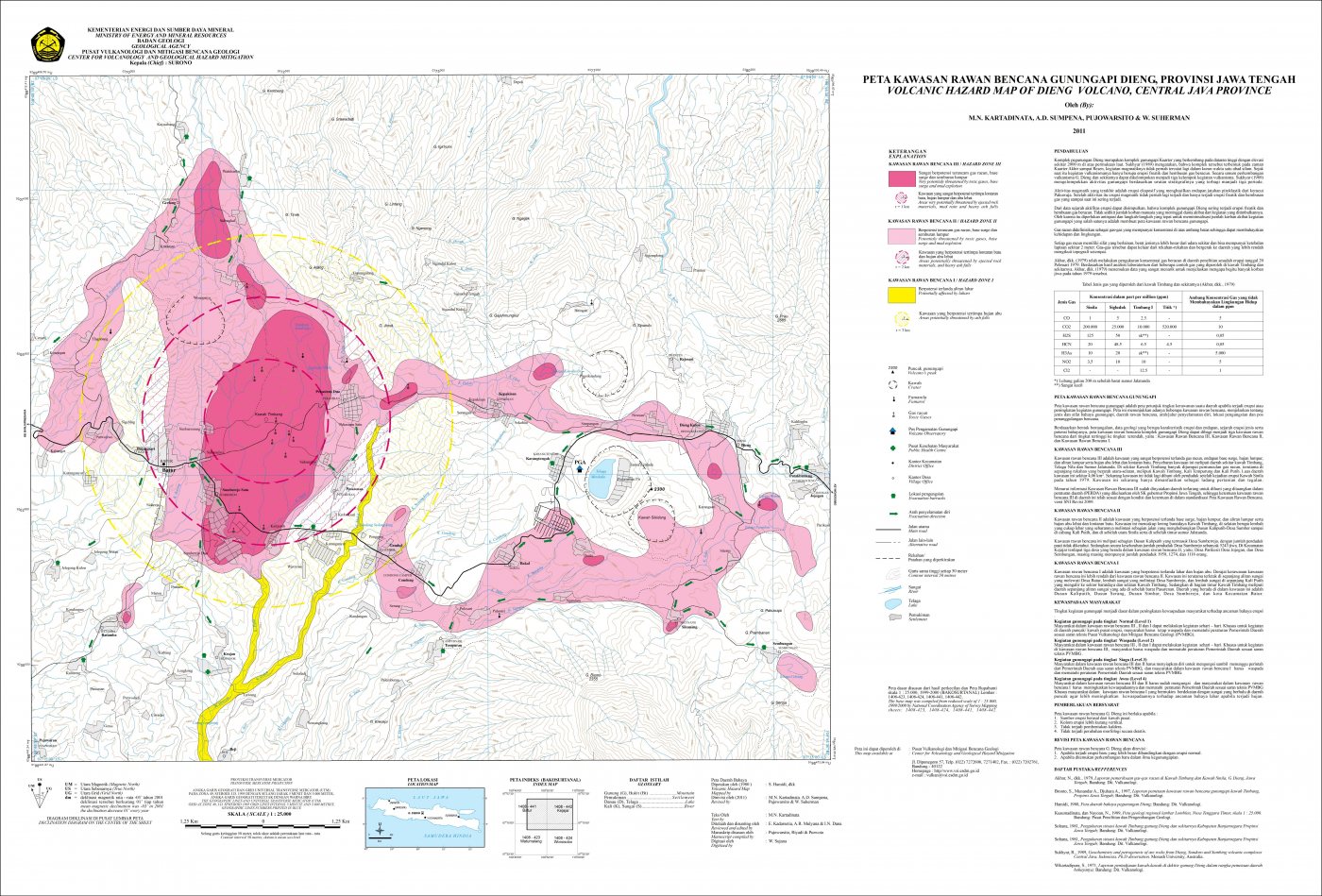
Volcanic hazard map (KRB)
Official Geological Agency map (2011): areas that may be hit by pyroclastic flows, lava flows, ballistic rocks, ashfall, and lahars. KRB III is closest to the source.
14-day seismicity chart
Volcanic earthquakes per day by type.
View data table
| Date | Deep volcanic | Local tectonic | Distant tectonic | More |
|---|---|---|---|---|
| 25 Oct | 0 | 0 | 0 | 0 |
| 24 Oct | 0 | 0 | 0 | 0 |
| 23 Oct | 0 | 1 | 0 | 0 |
| 22 Oct | 1 | 0 | 2 | 2 |
| 21 Oct | 0 | 0 | 1 | 0 |
| 20 Oct | 0 | 1 | 0 | 2 |
| 19 Oct | 0 | 1 | 0 | 0 |
| 18 Oct | 1 | 0 | 0 | 0 |
| 17 Oct | 0 | 0 | 0 | 0 |
| 16 Oct | 0 | 0 | 0 | 0 |
| 15 Oct | 0 | 0 | 0 | 0 |
| 14 Oct | 0 | 0 | 0 | 0 |
| 13 Oct | 0 | 0 | 0 | 0 |
| 12 Oct | 0 | 0 | 0 | 0 |
Satellite imagery
Previous reports
24-hour report, 2026-10-22, 00:00-24:00 WIB
Visual: The volcano is clearly visible. Main crater smoke observed: white with moderate to thick intensity, rising about 10-60 meter dari puncak.
- 2 Tornillo events, amplitude 6.7-13.4 mm, duration 13.9-21.8 s.
- 1 Deep volcanic event, amplitude 42.7 mm, S-P 0.67 s, duration 6.57 s.
- 2 Distant tectonic events, amplitude 6.7 mm, S-P not observed, duration 71-195 s.
24-hour report, 2026-10-21, 00:00-24:00 WIB
Visual: The volcano is clearly visible. Main crater smoke observed: white with thin intensity, rising about 5-10 meter dari puncak.
- 1 Distant tectonic event, amplitude 5.3 mm, S-P 31.8 s, duration 95.6 s.
24-hour report, 2026-10-20, 00:00-24:00 WIB
Visual: The volcano is clearly visible. Main crater smoke observed: white with thin to thick intensity, rising about 10-30 meter dari puncak.
- 2 Tornillo events, amplitude 9.3-10.7 mm, duration 7-7.5 s.
- 1 Local tectonic event, amplitude 42.7 mm, S-P 0.8 s, duration 6 s.
24-hour report, 2026-10-19, 00:00-24:00 WIB
Visual: The volcano is clearly visible. Main crater smoke observed: white with thin, moderate to thick intensity, rising about 5-20 meter dari puncak.
- 1 Local tectonic event, amplitude 13.4 mm, S-P 1.05 s, duration 5.51 s.
24-hour report, 2026-10-18, 00:00-24:00 WIB
Visual: The volcano is clearly visible. Main crater smoke observed: white with moderate to thick intensity, rising about 60 meter dari puncak.
- 1 Deep volcanic event, amplitude 42.7 mm, S-P 0.85 s, duration 6.3 s.
Level history
No level changes recorded since monitoring began.