
Earthquake details
Earthquake event details
2.7
SR (Richter scale)
Location
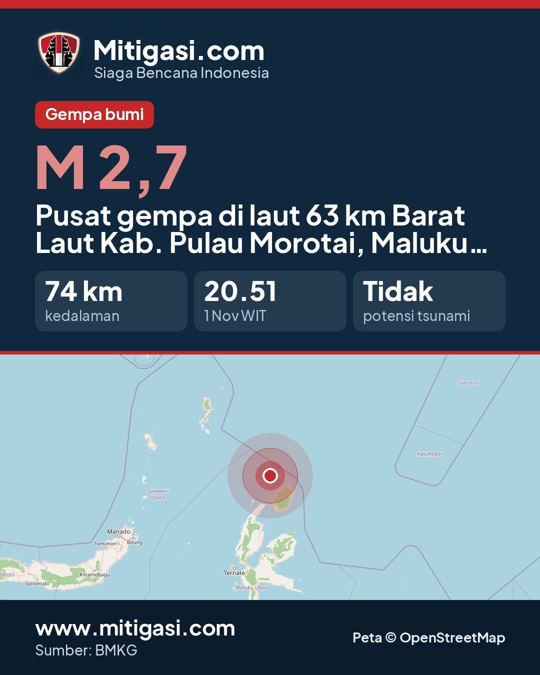
Epicentre at sea, 63 km northwest of Kab. Pulau Morotai, Maluku Utara
Date
01 Nov 2026
Time
19:51:36 WITA
Depth
74 km
Coordinates
2.8190000, 128.1630000
Tsunami status
This earthquake has no tsunami potential.
Epicentre location
Other recent earthquakes
See all →2.7
Epicentre at sea, 114 km south of Kab. Gunungkidul, DI Yogyakarta
01 Nov 2026 20:56
→
2.3
Epicentre at sea, 62 km southwest of Kab. Sumba Barat Daya, Nusa Tenggara Timur
01 Nov 2026 20:55
→
2.9
Epicentre on land, Kab. Manggarai Timur, Nusa Tenggara Timur
01 Nov 2026 20:53
→
3.4
Epicentre at sea, 51 km north of Kab. Manggarai, Nusa Tenggara Timur
01 Nov 2026 20:50
→
2.2
Epicentre on land, Kab. Sorong, Papua Barat Daya
01 Nov 2026 20:31
→