
Earthquake details
Earthquake event details
4.3
SR (Richter scale)
Location
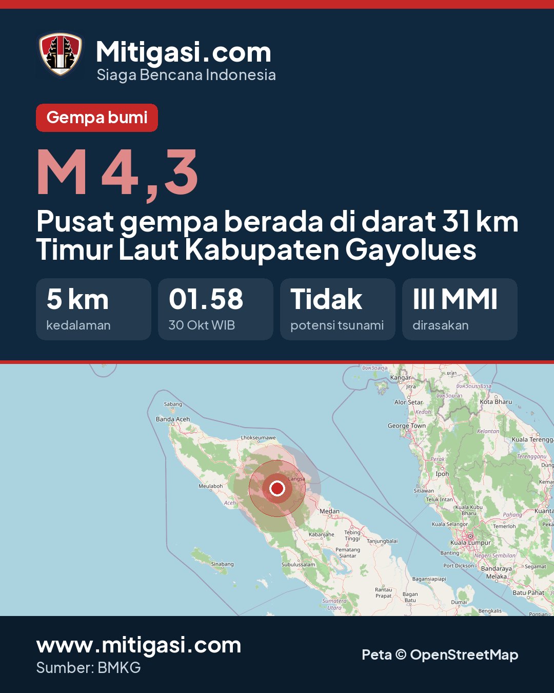
Epicentre on land, 31 km northeast of Kabupaten Gayolues
Date
30 Oct 2026
Time
02:58:30 WITA
Depth
5 km
Coordinates
4.1800000, 97.5500000
Felt
III Takengon
Tsunami status
This earthquake has no tsunami potential.
Shaking map (Shakemap)

Epicentre location
Other recent earthquakes
See all →2.3
Epicentre at sea, 51 km north of Kab. Manggarai, Nusa Tenggara Timur
30 Oct 2026 04:36
→
5.3
139 km northwest of TUAL-MALUKU
30 Oct 2026 04:32
→
2.6
Epicentre on land, Kab. Konawe Selatan, Sulawesi Tenggara
30 Oct 2026 04:19
→
2.3
Epicentre at sea, 115 km north of Kab. Bima, Nusa Tenggara Barat
30 Oct 2026 04:15
→
5.3
Pusat gempa di Gulf of Alaska
30 Oct 2026 04:13
→